TOPOGRAPHY
TOPOGRAPHY
|
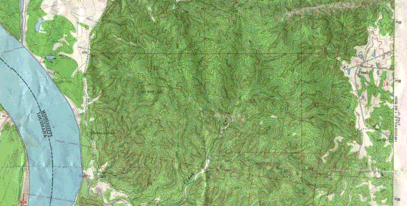
The colored map to the lower left is a topographic map, which depicts the general nature of the hills and valleys in the area of Clark Creek. You can see the Mississippi River on the western side of the map. Clark Creek is a small channel that extends from the river into the bluffland to the East. An enlarged view of the map and more explanation of the topography may be obtained by clicking on the map image. |
|
|
|
|