Day 2, Stop 3 Lay Dam |
| The
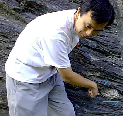
Lay Dam outcrop lies west of the Coosa river,
along Alabama Route 55. It is approximately 170
meters long and 10 meters high. The phyllite
matrix contains many different types of clasts
that have been deformed due to shear stress. Bedding surfaces can be distinguished because of differences in compostition of layers, however, foliation is the dominant planar feature seen on the outcrop. The orientation of the foliation is very close to the orientation of the bedding in the area surveyed. This lead the class to the conclusion that the area surveyed was on a limb of the fold. The outcrop was originally a diamictite that underwent metamorphism, transforming it to a phyllite. Intense shearing was inflicted upon the area, and now the outcrop is a mylonitic phyllite. Both brittle and ductile deformations are evident on the outcrop. The east side of the rock holds a small fault, with 1 mm of displacement. Shearing is also seen. These different types of deformation indicate the rock has been distorted at different times under different conditions. It is unlikely that one period of contortion would produce small faults (brittle deformation) and foliation and shearing (ductile deformation). Hypotheses must be made about the physical processes responsible for the transport of the rocks to determine the original rock source for the outcrop. Poorly sorted, angular, deformed clasts in a variety of sizes were observed in the outcrop, held in a matrix that was originally clay. Debris flow is theorized as the transport mechanism, possibly from mudslides. Alternatively, glaciers may have been responsible for the dropstones, by way of meltwater.
|