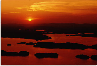
| Above: This
is a photo of the sun setting on Lake Ouachita. Lake Ouachita is the largest
manmade lake in the state at 47,000 acres. Photo from Arkansas State Parks
website. |
|
INTRODUCTION:
The
structures of the Ouachita Mountains were created during an episode of
continent-continent collision. In the Pre-Cambrian North and South America
were seprated by an ocean, which was later closed due to a collision during
the Mississippian-Late Devonian. The lithosphere from the North American
plate subducted under the South American plate creating an accretionary
prism. Accretionary prisms are wedges of sediment formed by the subducting
slab, which contain thrust faults.These processes of intense subduction
and high water levels created a great place to study deep water sedimentary
units and intensely folded beds.
|
|
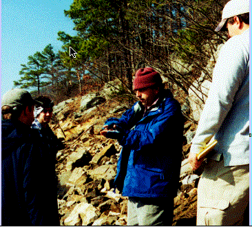
Above: Dr. Juan Lorezno
gives a brief introduction to the students of the regional geology of the
area.
|

| At this stop
the students observed the sedimentary units, which consisted of thin, interbedded
shales, with some coarser sands. At this stop you are located on a limb
of a fold, and the students used strike and dip measurements and younging
indicators to figure out which way is "up." |
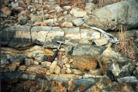
| Above: This
is a photo of a load cast structure seen at stop 1, which is to the left
of the hammer. This feature can be used as a younging indicator because
it forms by competency differences between the layers above and beneath,
and gravity causes the heavier layer to sink. |

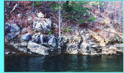
At this stop the students observed a large fold
structure that exhibited both first and second generation folding. The
hinge was immersed in water somewhere under the tree in the picture below.
|
|