
THE TANA DELTA
Delta ID # 48.
Tana River delta, Kenya, Africa
LOCATION LAT. 02°53’S, LONG. 39°50’E
LANDMASS DRAINED AFRICA
BASIN OF DEPOSITION INDIAN OCEAN
CLIMATE TROPICAL SAVANNA (Aw)
AIR TEMP RANGE 26°C – 35°C,
TYPE OF TIDE SEMIDIURNAL
ID 7166062000002250, PATH 166 ROW 62
IMAGE ACQUIRED JANUARY 22, 2000
Delta type:
Geo-referenced files
Description
Contributed by Professor James Coleman, LSU. From: Coleman and Huh, 2004.
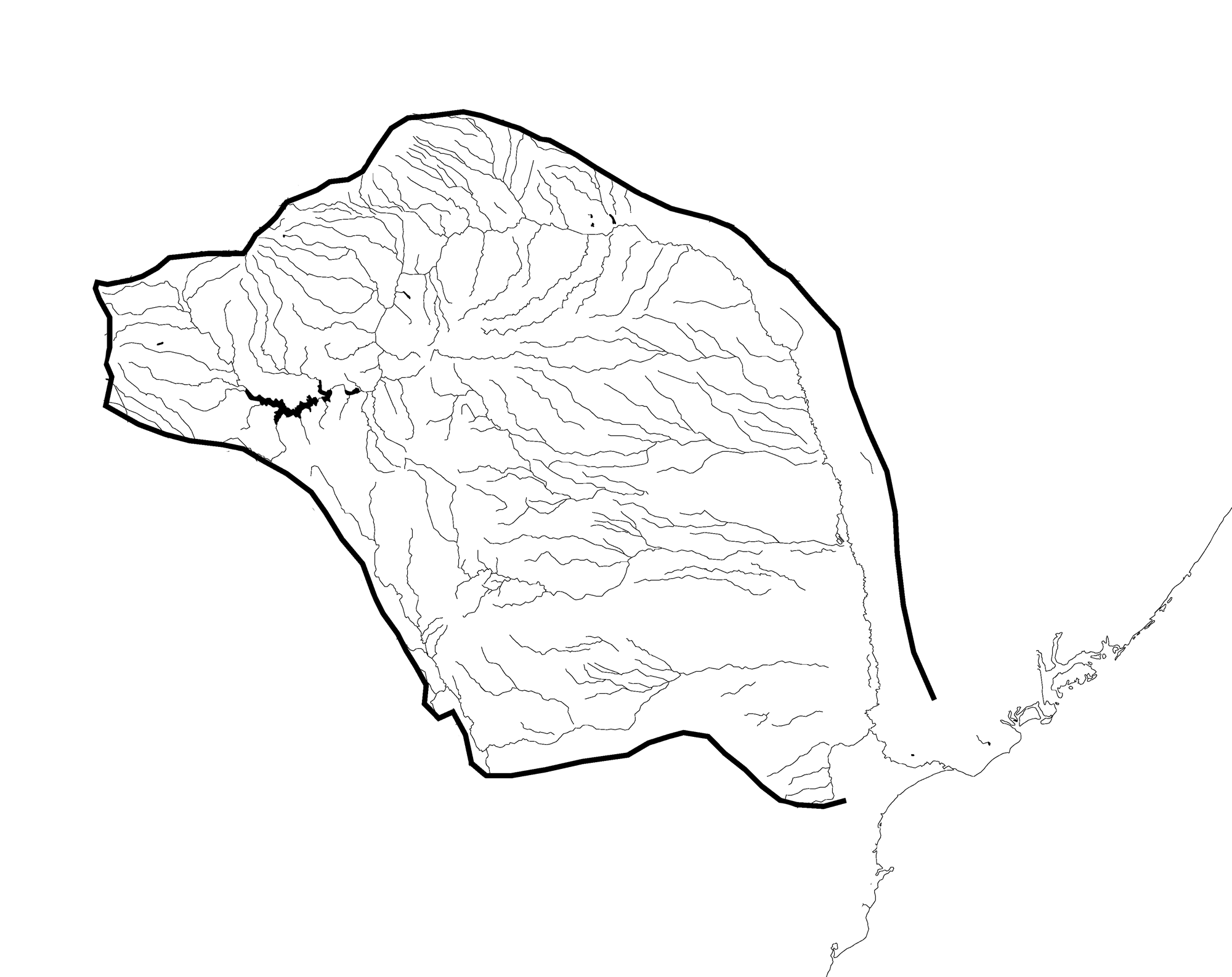
Tana River drainage basin.
The Tana river is approximately 800 km [500 miles] long, rising near Mt. Kenya, in central Kenya, East Africa. It is the largest river in Kenya, From its source it flows eastwards and then southwards across Kenya into the Indian Ocean. The delta is partially mangrove fringed.
The generally muddy-brown color of the water during the dry season, changes to red during the rainy season due to the erosion of the lateritic top soils.
The influence of humankind.
The river flow is being modified by the construction of hydroelectric plants and irrigation projects within the Tana basin.